
Thank you for supporting this site ❤️
Make a donation
Make a donation
Genivolta topographic map
Click on the map to display elevation.
Thank you for supporting this site ❤️
Make a donation
Make a donation
About this map
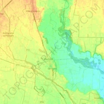
Name: Genivolta topographic map, elevation, terrain.
Location: Genivolta, Cremona, Lombardy, Italy (45.30878 9.84571 45.37836 9.91147)
Average elevation: 67 m
Minimum elevation: 49 m
Maximum elevation: 82 m
Thank you for supporting this site ❤️
Make a donation
Make a donation
Other topographic maps
Click on a map to view its topography, its elevation and its terrain.