
Thank you for supporting this site ❤️
Make a donation
Make a donation
Society Islands topographic map
Click on the map to display elevation.
Thank you for supporting this site ❤️
Make a donation
Make a donation
About this map
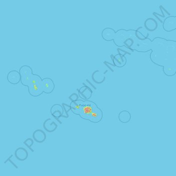
Name: Society Islands topographic map, elevation, terrain.
Location: Society Islands, French Polynesia, France (-17.88342 -154.72669 -15.79891 -148.05971)
Average elevation: 1 m
Minimum elevation: 0 m
Maximum elevation: 1,710 m
Thank you for supporting this site ❤️
Make a donation
Make a donation
Other topographic maps
Click on a map to view its topography, its elevation and its terrain.