
Thank you for supporting this site ❤️
Make a donation
Make a donation
Sultanganj topographic map
Click on the map to display elevation.
Thank you for supporting this site ❤️
Make a donation
Make a donation
About this map
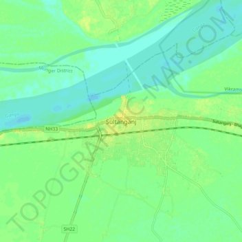
Name: Sultanganj topographic map, elevation, terrain.
Location: Sultanganj, Bhagalpur District, Bihar, 812006, India (25.20580 86.69674 25.28580 86.77674)
Average elevation: 35 m
Minimum elevation: 26 m
Maximum elevation: 47 m
Thank you for supporting this site ❤️
Make a donation
Make a donation