
Castello di Brussa topographic map
Interactive map
Click on the map to display elevation.
About this map
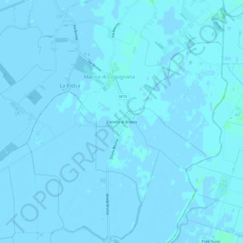
Name: Castello di Brussa topographic map, elevation, terrain.
Location: Castello di Brussa, Caorle, Venezia, Veneto, 30021, Italia (45.68554 12.93121 45.72554 12.97121)
Average elevation: 0 m
Minimum elevation: -3 m
Maximum elevation: 4 m
Other topographic maps
Click on a map to view its topography, its elevation and its terrain.
Duna Verde
Italia > Veneto > Venezia > Caorle
Duna Verde, Caorle, Venezia, Veneto, 30021, Italia
Average elevation: -1 m