
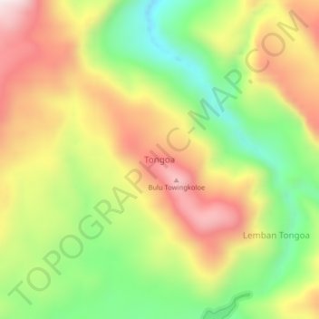
Tongoa topographic map
Interactive map
Click on the map to display elevation.
About this map
Name: Tongoa topographic map, elevation, terrain.
Location: Tongoa, Sigi, Zentral-Sulawesi, Indonesien (-1.27493 120.07967 -1.23493 120.11967)
Average elevation: 1,130 m
Minimum elevation: 789 m
Maximum elevation: 1,488 m