
Ham Tin topographic map
Interactive map
Click on the map to display elevation.
About this map
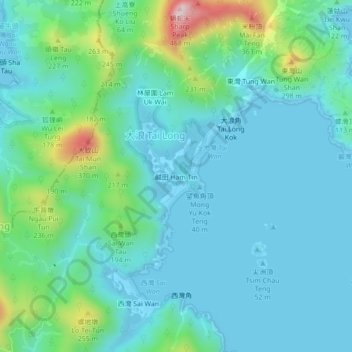
Name: Ham Tin topographic map, elevation, terrain.
Location: Ham Tin, Sai Kung District, Hong Kong, PRC (22.39160 114.35570 22.43160 114.39570)
Average elevation: 78 m
Minimum elevation: -4 m
Maximum elevation: 418 m