
Thank you for supporting this site ❤️
Make a donation
Make a donation
Huachichil topographic map
Click on the map to display elevation.
Thank you for supporting this site ❤️
Make a donation
Make a donation
About this map
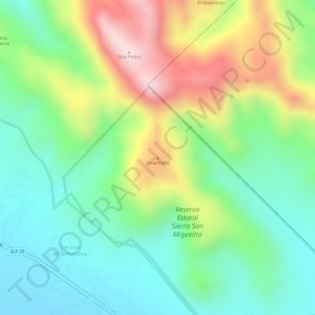
Name: Huachichil topographic map, elevation, terrain.
Location: Huachichil, Villa de Arriaga, San Luis Potosí, México (22.10416 -101.20438 22.10426 -101.20428)
Average elevation: 2,412 m
Minimum elevation: 2,269 m
Maximum elevation: 2,642 m
Thank you for supporting this site ❤️
Make a donation
Make a donation