
Ho'omaluhia Botanical Garden topographic map
Interactive map
Click on the map to display elevation.
About this map
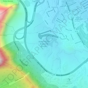
Name: Ho'omaluhia Botanical Garden topographic map, elevation, terrain.
Average elevation: 155 m
Minimum elevation: 27 m
Maximum elevation: 714 m