
Thank you for supporting this site ❤️
Make a donation
Make a donation
Michelsberg topographic map
Click on the map to display elevation.
Thank you for supporting this site ❤️
Make a donation
Make a donation
Michelsberg
Der Michelsberg ist laut einem auf der Deutschen Grundkarte verzeichneten trigonometrischen Punkt 586,1 m hoch. Sein Gipfel, dessen Höhe auch mit 588 m angegeben wird, befindet sich auf der mittleren von drei Kuppen. Von der Hauptkuppe leitet die Landschaft über eine 564,6 m hoch gelegene Scharte zur auch Hohberg (574,5 m) genannten Nordkuppe über, und im Südwesten schließt sich eine 573,5 m hohe Kuppe an. In topographischen Karten des Bundesamts für Naturschutz ist auf der Gipfelregion eine 566,1 m hohe Stelle zu finden.
Thank you for supporting this site ❤️
Make a donation
Make a donation
About this map
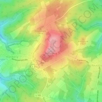
Name: Michelsberg topographic map, elevation, terrain.
Average elevation: 487 m
Minimum elevation: 406 m
Maximum elevation: 574 m
Thank you for supporting this site ❤️
Make a donation
Make a donation