
Ethodu topographic map
Interactive map
Click on the map to display elevation.
About this map
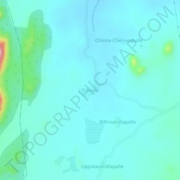
Name: Ethodu topographic map, elevation, terrain.
Location: Ethodu, Tanakal, Sri Sathya Sai, Andhra Pradesh, India (13.88777 78.13485 13.92777 78.17485)
Average elevation: 618 m
Minimum elevation: 590 m
Maximum elevation: 807 m
Other topographic maps
Click on a map to view its topography, its elevation and its terrain.
Korthikota
India > Andhra Pradesh > Tanakal
Korthikota, Tanakal, Sri Sathya Sai, Andhra Pradesh, India
Average elevation: 519 m