
Thank you for supporting this site ❤️
Make a donation
Make a donation
Chhreav Waterfall topographic map
Click on the map to display elevation.
Thank you for supporting this site ❤️
Make a donation
Make a donation
About this map
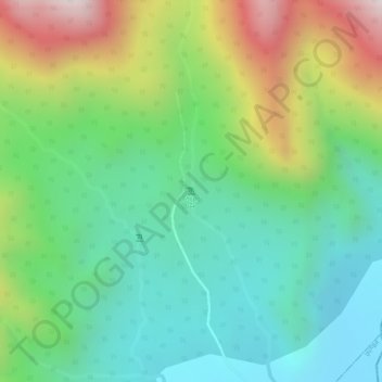
Name: Chhreav Waterfall topographic map, elevation, terrain.
Location: Chhreav Waterfall, Aoral, Kampong Speu, Cambodia (11.96548 104.24229 11.96558 104.24239)
Average elevation: 408 m
Minimum elevation: 170 m
Maximum elevation: 829 m
Thank you for supporting this site ❤️
Make a donation
Make a donation