
Thank you for supporting this site ❤️
Make a donation
Make a donation
Switz City topographic map
Click on the map to display elevation.
Thank you for supporting this site ❤️
Make a donation
Make a donation
About this map
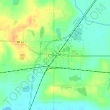
Name: Switz City topographic map, elevation, terrain.
Location: Switz City, Greene County, Indiana, 47465, United States (39.03123 -87.05970 39.03840 -87.04869)
Average elevation: 162 m
Minimum elevation: 148 m
Maximum elevation: 180 m
Thank you for supporting this site ❤️
Make a donation
Make a donation
Other topographic maps
Click on a map to view its topography, its elevation and its terrain.