
Thank you for supporting this site ❤️
Make a donation
Make a donation
Brammapuram topographic map
Click on the map to display elevation.
Thank you for supporting this site ❤️
Make a donation
Make a donation
About this map
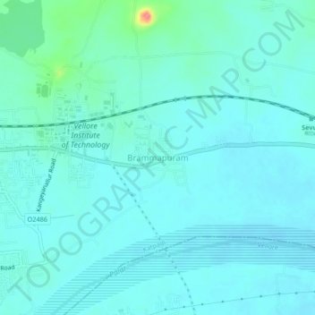
Name: Brammapuram topographic map, elevation, terrain.
Location: Brammapuram, Katpadi, Vellore, Tamil Nadu, 632014, India (12.94689 79.15014 12.98689 79.19014)
Average elevation: 204 m
Minimum elevation: 193 m
Maximum elevation: 272 m
Thank you for supporting this site ❤️
Make a donation
Make a donation
Other topographic maps
Click on a map to view its topography, its elevation and its terrain.