
Thank you for supporting this site ❤️
Make a donation
Make a donation
Scaggsville topographic map
Click on the map to display elevation.
Thank you for supporting this site ❤️
Make a donation
Make a donation
About this map
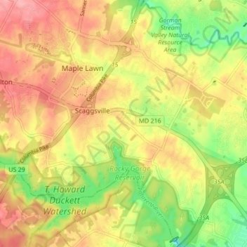
Name: Scaggsville topographic map, elevation, terrain.
Location: Scaggsville, Howard County, Maryland, United States (39.11527 -76.91892 39.16857 -76.85211)
Average elevation: 111 m
Minimum elevation: 57 m
Maximum elevation: 153 m
Thank you for supporting this site ❤️
Make a donation
Make a donation