
伊川县 topographic map
Interactive map
Click on the map to display elevation.
About this map
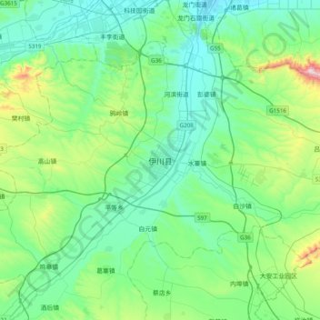
Name: 伊川县 topographic map, elevation, terrain.
Location: 伊川县, 城关街道, 伊川县, 河南省, 中国 (34.26532 112.26511 34.58532 112.58511)
Average elevation: 287 m
Minimum elevation: 142 m
Maximum elevation: 872 m