
City of Red Deer topographic map
Interactive map
Click on the map to display elevation.
About this map
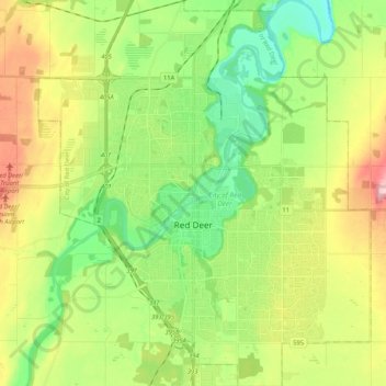
Name: City of Red Deer topographic map, elevation, terrain.
Location: City of Red Deer, Division No. 8, Alberta, Canada (52.21573 -113.89773 52.34292 -113.71850)
Average elevation: 890 m
Minimum elevation: 822 m
Maximum elevation: 1,000 m