Bittinger topographic map
Click on the map to display elevation.
About this map
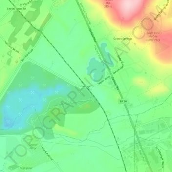
Name: Bittinger topographic map, elevation, terrain.
Average elevation: 178 m
Minimum elevation: 108 m
Maximum elevation: 310 m

Click on the map to display elevation.
Name: Bittinger topographic map, elevation, terrain.
Average elevation: 178 m
Minimum elevation: 108 m
Maximum elevation: 310 m