
石景山 topographic map
Interactive map
Click on the map to display elevation.
About this map
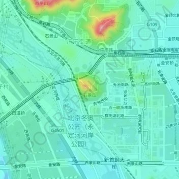
Name: 石景山 topographic map, elevation, terrain.
Location: 石景山, 石景山区, 北京市, 100042, 中国 (39.91716 116.14171 39.91726 116.14181)
Average elevation: 95 m
Minimum elevation: 66 m
Maximum elevation: 218 m
Other topographic maps
Click on a map to view its topography, its elevation and its terrain.