
Axien topographic map
Interactive map
Click on the map to display elevation.
About this map
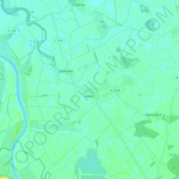
Name: Axien topographic map, elevation, terrain.
Location: Axien, Annaburg, Wittenberg, Sachsen-Anhalt, Deutschland (51.67222 12.82965 51.73210 12.92538)
Average elevation: 76 m
Minimum elevation: 71 m
Maximum elevation: 88 m
Other topographic maps
Click on a map to view its topography, its elevation and its terrain.
Labrun
Deutschland > Sachsen-Anhalt > Wittenberg > Annaburg
Labrun, Annaburg, Wittenberg, Sachsen-Anhalt, Deutschland
Average elevation: 78 m