
Thank you for supporting this site ❤️
Make a donation
Make a donation
Cornerville topographic map
Click on the map to display elevation.
Thank you for supporting this site ❤️
Make a donation
Make a donation
About this map
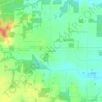
Name: Cornerville topographic map, elevation, terrain.
Location: Cornerville, Saline County, Illinois, United States (37.88699 -88.64339 37.92699 -88.60339)
Average elevation: 142 m
Minimum elevation: 125 m
Maximum elevation: 173 m
Thank you for supporting this site ❤️
Make a donation
Make a donation
Other topographic maps
Click on a map to view its topography, its elevation and its terrain.