
Khwazakhela topographic map
Interactive map
Click on the map to display elevation.
About this map
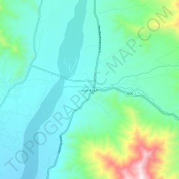
Name: Khwazakhela topographic map, elevation, terrain.
Location: Khwazakhela, Swāt District, Khyber Pakhtunkhwa, Pakistan (34.89703 72.42694 34.97703 72.50694)
Average elevation: 1,260 m
Minimum elevation: 1,050 m
Maximum elevation: 2,135 m