
Villaldín topographic map
Interactive map
Click on the map to display elevation.
About this map
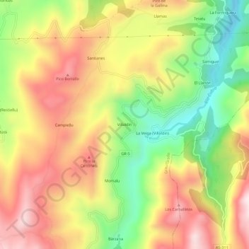
Name: Villaldín topographic map, elevation, terrain.
Location: Villaldín, Grado, Asturias, 33826, España (43.26469 -6.16409 43.30469 -6.12409)
Average elevation: 530 m
Minimum elevation: 216 m
Maximum elevation: 824 m