
Cherokee County topographic map
Interactive map
Click on the map to display elevation.
About this map
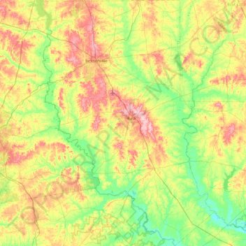
Name: Cherokee County topographic map, elevation, terrain.
Location: Cherokee County, Texas, United States (31.42587 -95.46134 32.13797 -94.86588)
Average elevation: 118 m
Minimum elevation: 50 m
Maximum elevation: 235 m
Other topographic maps
Click on a map to view its topography, its elevation and its terrain.