
盐城市 topographic map
Interactive map
Click on the map to display elevation.
About this map
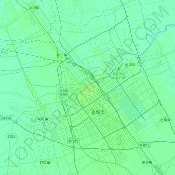
Name: 盐城市 topographic map, elevation, terrain.
Location: 盐城市, 亭湖区, 盐城市, 江苏省, 中国 (33.23397 119.97495 33.55397 120.29495)
Average elevation: 3 m
Minimum elevation: -1 m
Maximum elevation: 6 m
Other topographic maps
Click on a map to view its topography, its elevation and its terrain.