
Efland topographic map
Interactive map
Click on the map to display elevation.
About this map
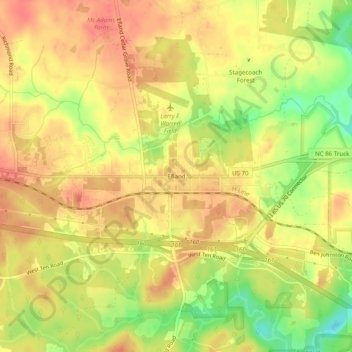
Name: Efland topographic map, elevation, terrain.
Location: Efland, Orange County, North Carolina, 27243, United States (36.06125 -79.18918 36.10125 -79.14918)
Average elevation: 193 m
Minimum elevation: 157 m
Maximum elevation: 212 m
Other topographic maps
Click on a map to view its topography, its elevation and its terrain.
Eno River State Park
United States > North Carolina > Orange County
Eno River State Park, Orange County, North Carolina, United States
Average elevation: 167 m