Geolocate

Stanton topographic map

Interactive map

Click on the map to display elevation.

About this map

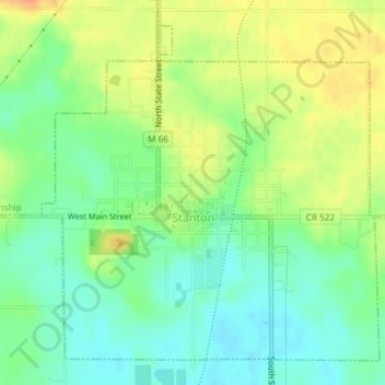
Name: Stanton topographic map, elevation, terrain.

Location: Stanton, Montcalm County, Michigan, United States (43.28248 -85.09601 43.30595 -85.06347)

Average elevation: 281 m

Minimum elevation: 263 m

Maximum elevation: 302 m

Other topographic maps

Click on a map to view its topography, its elevation and its terrain.

Carson City

United States > Michigan > Montcalm County

Carson City, Montcalm County, Michigan, 48811, United States

Average elevation: 232 m

Edmore

United States > Michigan > Montcalm County

Edmore, Home Township, Montcalm County, Michigan, United States

Average elevation: 297 m

Fairplain Township

United States > Michigan > Montcalm County

Fairplain Township, Montcalm County, Michigan, United States

Average elevation: 257 m

Belvidere Township

United States > Michigan > Montcalm County

Belvidere Township, Montcalm County, Michigan, 48886, United States

Average elevation: 290 m

Douglass Township

United States > Michigan > Montcalm County

Douglass Township, Montcalm County, Michigan, 48888, United States

Average elevation: 283 m

Crystal Township

United States > Michigan > Montcalm County

Crystal Township, Montcalm County, Michigan, 48818, United States

Average elevation: 241 m

Edmore

United States > Michigan > Montcalm County > Edmore

Edmore, Home Township, Montcalm County, Michigan, 48829, United States

Average elevation: 296 m