
Thank you for supporting this site ❤️
Make a donation
Make a donation
Geistingen topographic map
Click on the map to display elevation.
Thank you for supporting this site ❤️
Make a donation
Make a donation
About this map
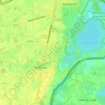
Name: Geistingen topographic map, elevation, terrain.
Location: Geistingen, Ophoven, Kinrooi, Maaseik, Limburg, 3640, België (51.11280 5.78895 51.15280 5.82895)
Average elevation: 28 m
Minimum elevation: 17 m
Maximum elevation: 36 m
Thank you for supporting this site ❤️
Make a donation
Make a donation