
Thank you for supporting this site ❤️
Make a donation
Make a donation
Reotipur topographic map
Click on the map to display elevation.
Thank you for supporting this site ❤️
Make a donation
Make a donation
About this map
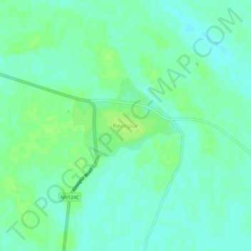
Name: Reotipur topographic map, elevation, terrain.
Location: Reotipur, Zamania, Ghazipur, Uttar Pradesh, India (25.51752 83.69202 25.55752 83.73202)
Average elevation: 66 m
Minimum elevation: 60 m
Maximum elevation: 71 m
Thank you for supporting this site ❤️
Make a donation
Make a donation