
Lozenets topographic map
Interactive map
Click on the map to display elevation.
About this map
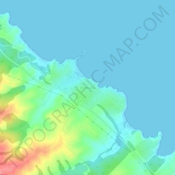
Name: Lozenets topographic map, elevation, terrain.
Location: Lozenets, Tsarevo, Burgas, 8277, Bulgaria (42.18885 27.78682 42.22885 27.82682)
Average elevation: 16 m
Minimum elevation: -1 m
Maximum elevation: 88 m