
Gori topographic map
Interactive map
Click on the map to display elevation.
About this map
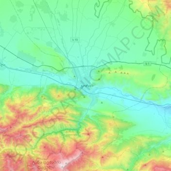
Name: Gori topographic map, elevation, terrain.
Location: Gori, Gori Municipality, Inner Kartli, 1400, Georgia (41.82185 43.95178 42.14185 44.27178)
Average elevation: 912 m
Minimum elevation: 530 m
Maximum elevation: 2,132 m