
Thank you for supporting this site ❤️
Make a donation
Make a donation
Labuerda/A Buerda topographic map
Click on the map to display elevation.
Thank you for supporting this site ❤️
Make a donation
Make a donation
About this map
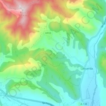
Name: Labuerda/A Buerda topographic map, elevation, terrain.
Location: Labuerda/A Buerda, Sobrarbe, Huesca, Aragón, Spanje (42.43088 0.08501 42.48504 0.14175)
Average elevation: 759 m
Minimum elevation: 538 m
Maximum elevation: 1,287 m
Thank you for supporting this site ❤️
Make a donation
Make a donation
Other topographic maps
Click on a map to view its topography, its elevation and its terrain.