
Thank you for supporting this site ❤️
Make a donation
Make a donation
Voort topographic map
Click on the map to display elevation.
Thank you for supporting this site ❤️
Make a donation
Make a donation
About this map
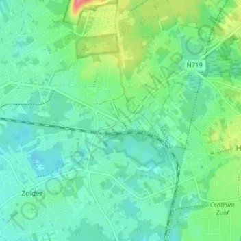
Name: Voort topographic map, elevation, terrain.
Location: Voort, Zolder, Heusden-Zolder, Hasselt, Limburg, 3550, België (51.01574 5.31691 51.05574 5.35691)
Average elevation: 48 m
Minimum elevation: 29 m
Maximum elevation: 104 m
Thank you for supporting this site ❤️
Make a donation
Make a donation