
Thank you for supporting this site ❤️
Make a donation
Make a donation
Lemwerder topographic map
Click on the map to display elevation.
Thank you for supporting this site ❤️
Make a donation
Make a donation
About this map
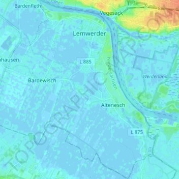
Name: Lemwerder topographic map, elevation, terrain.
Location: Lemwerder, Landkreis Wesermarsch, Lower Saxony, 27809, Germany (53.09899 8.53549 53.17592 8.65728)
Average elevation: 3 m
Minimum elevation: -2 m
Maximum elevation: 34 m
Thank you for supporting this site ❤️
Make a donation
Make a donation