
Central topographic map
Interactive map
Click on the map to display elevation.
About this map
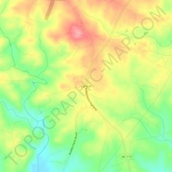
Name: Central topographic map, elevation, terrain.
Location: Central, Iredell County, North Carolina, United States (35.91708 -80.98646 35.95708 -80.94646)
Average elevation: 305 m
Minimum elevation: 251 m
Maximum elevation: 359 m