
Sicklerville topographic map
Interactive map
Click on the map to display elevation.
About this map
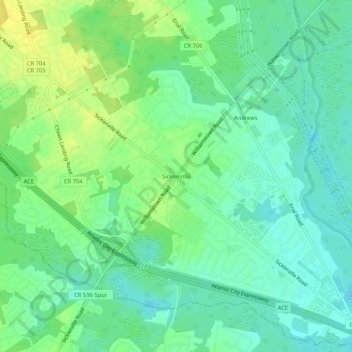
Name: Sicklerville topographic map, elevation, terrain.
Average elevation: 41 m
Minimum elevation: 31 m
Maximum elevation: 53 m
Other topographic maps
Click on a map to view its topography, its elevation and its terrain.
Penbryn
United States > New Jersey > Camden County > Winslow Township
Penbryn, Winslow Township, Camden County, New Jersey, 08009, United States
Average elevation: 45 m
Florence
United States > New Jersey > Camden County > Winslow Township
Florence, Winslow Township, Camden County, New Jersey, 08018, United States
Average elevation: 44 m