
Poroma topographic map
Interactive map
Click on the map to display elevation.
About this map
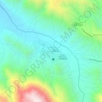
Name: Poroma topographic map, elevation, terrain.
Location: Poroma, Provincia Oropeza, Chuquisaca, Bolivia (-18.54203 -65.43129 -18.53637 -65.42280)
Average elevation: 2,443 m
Minimum elevation: 2,271 m
Maximum elevation: 2,854 m