
Dry Fork topographic map
Interactive map
Click on the map to display elevation.
About this map
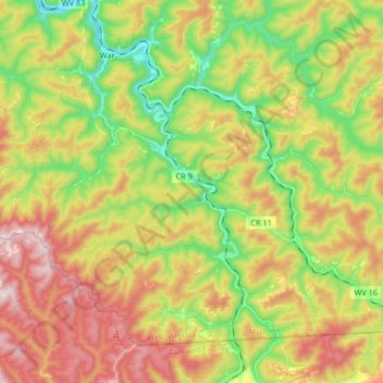
Name: Dry Fork topographic map, elevation, terrain.
Location: Dry Fork, War, McDowell County, West Virginia, United States (37.18852 -81.69802 37.32001 -81.61718)
Average elevation: 647 m
Minimum elevation: 393 m
Maximum elevation: 949 m