
Auch topographic map
Interactive map
Click on the map to display elevation.
About this map
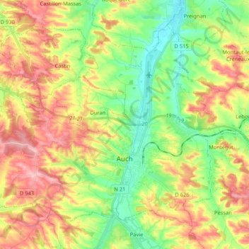
Name: Auch topographic map, elevation, terrain.
Location: Auch, Gers, Occitania, Francia metropolitana, 32000, Francia (43.61719 0.48604 43.70772 0.64711)
Average elevation: 190 m
Minimum elevation: 114 m
Maximum elevation: 284 m