
Thank you for supporting this site ❤️
Make a donation
Make a donation
Saint Leonard topographic map
Click on the map to display elevation.
Thank you for supporting this site ❤️
Make a donation
Make a donation
About this map
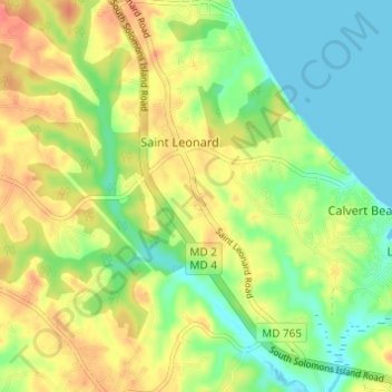
Name: Saint Leonard topographic map, elevation, terrain.
Location: Saint Leonard, Calvert County, Maryland, United States (38.44387 -76.51646 38.49161 -76.46828)
Average elevation: 23 m
Minimum elevation: -1 m
Maximum elevation: 49 m
Thank you for supporting this site ❤️
Make a donation
Make a donation
Other topographic maps
Click on a map to view its topography, its elevation and its terrain.