
Kedewatan topographic map
Interactive map
Click on the map to display elevation.
About this map
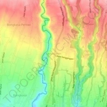
Name: Kedewatan topographic map, elevation, terrain.
Location: Kedewatan, Ubud, Bali, 80571, Indonesien (-8.50479 115.22583 -8.46479 115.26583)
Average elevation: 255 m
Minimum elevation: 166 m
Maximum elevation: 330 m