
Bagamoyo topographic map
Interactive map
Click on the map to display elevation.
About this map
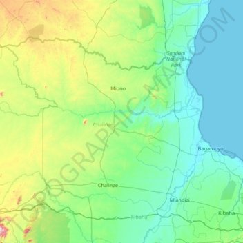
Name: Bagamoyo topographic map, elevation, terrain.
Location: Bagamoyo, Pwani, Coastal Zone, Tanzanie (-6.76580 37.81443 -5.82800 39.12195)
Average elevation: 228 m
Minimum elevation: 0 m
Maximum elevation: 1,501 m
Other topographic maps
Click on a map to view its topography, its elevation and its terrain.