
Sa topographic map
Interactive map
Click on the map to display elevation.
About this map
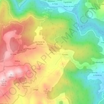
Name: Sa topographic map, elevation, terrain.
Location: Sa, Leiro, O Ribeiro, Ourense, Galicia, 32428, Spain (42.36090 -8.17542 42.40090 -8.13542)
Average elevation: 342 m
Minimum elevation: 89 m
Maximum elevation: 631 m