
Serengeti topographic map
Interactive map
Click on the map to display elevation.
About this map
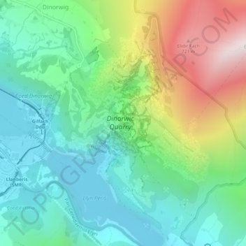
Name: Serengeti topographic map, elevation, terrain.
Location: Serengeti, Dinorwig, Gwynedd, Wales, LL55 3EU, United Kingdom (53.11180 -4.11023 53.13180 -4.09023)
Average elevation: 341 m
Minimum elevation: 88 m
Maximum elevation: 896 m