
Ribera del Duero topographic map
Interactive map
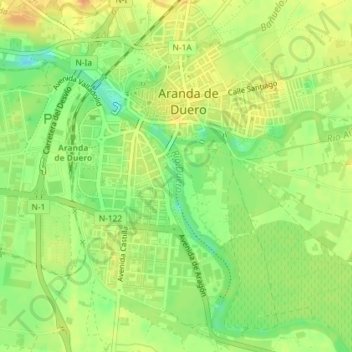
Click on the map to display elevation.
About this map
Name: Ribera del Duero topographic map, elevation, terrain.
Average elevation: 800 m
Minimum elevation: 779 m
Maximum elevation: 817 m
Other topographic maps
Click on a map to view its topography, its elevation and its terrain.
La Aguilera
España > Castilla y León > Aranda de Duero
La Aguilera, Aranda de Duero, Burgos, Castilla y León, 09370, España
Average elevation: 832 m