
Thank you for supporting this site ❤️
Make a donation
Make a donation
Mead topographic map
Click on the map to display elevation.
Thank you for supporting this site ❤️
Make a donation
Make a donation
About this map
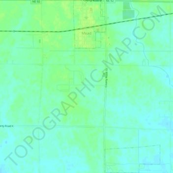
Name: Mead topographic map, elevation, terrain.
Location: Mead, Saunders County, Nebraska, 68041, United States (41.19489 -96.49323 41.23409 -96.46705)
Average elevation: 365 m
Minimum elevation: 359 m
Maximum elevation: 371 m
Thank you for supporting this site ❤️
Make a donation
Make a donation