
Thank you for supporting this site ❤️
Make a donation
Make a donation
Fanhões topographic map
Click on the map to display elevation.
Thank you for supporting this site ❤️
Make a donation
Make a donation
About this map
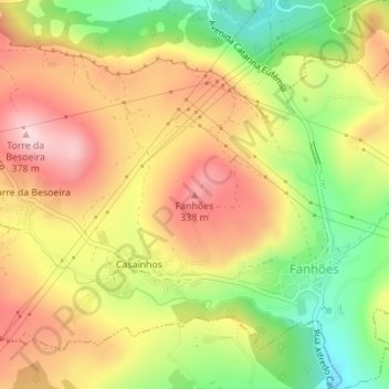
Name: Fanhões topographic map, elevation, terrain.
Location: Fanhões, Loures, Lisboa, 2670-692, Portugal (38.88714 -9.16351 38.88724 -9.16341)
Average elevation: 243 m
Minimum elevation: 101 m
Maximum elevation: 367 m
Thank you for supporting this site ❤️
Make a donation
Make a donation