
Thank you for supporting this site ❤️
Make a donation
Make a donation
Thines topographic map
Click on the map to display elevation.
Thank you for supporting this site ❤️
Make a donation
Make a donation
About this map
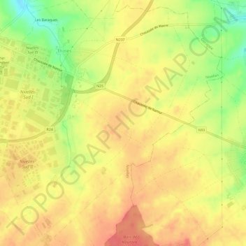
Name: Thines topographic map, elevation, terrain.
Location: Thines, Nivelles, Brabant wallon, Wallonie, 1402, Belgique (50.56816 4.34941 50.60513 4.40665)
Average elevation: 148 m
Minimum elevation: 110 m
Maximum elevation: 170 m
Thank you for supporting this site ❤️
Make a donation
Make a donation
Other topographic maps
Click on a map to view its topography, its elevation and its terrain.