
Gobezanes topographic map
Interactive map
Click on the map to display elevation.
About this map
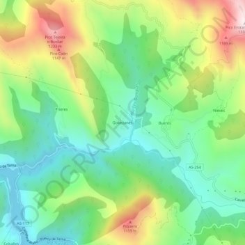
Name: Gobezanes topographic map, elevation, terrain.
Location: Gobezanes, Caso, 33990, España (43.19012 -5.38023 43.23012 -5.34023)
Average elevation: 772 m
Minimum elevation: 482 m
Maximum elevation: 1,303 m