
Thank you for supporting this site ❤️
Make a donation
Make a donation
Valdegas topographic map
Click on the map to display elevation.
Thank you for supporting this site ❤️
Make a donation
Make a donation
About this map
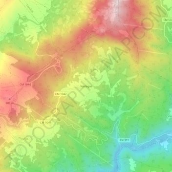
Name: Valdegas topographic map, elevation, terrain.
Location: Valdegas, Pinho, Boticas, Vila Real, Portugal (41.65339 -7.63332 41.69339 -7.59332)
Average elevation: 532 m
Minimum elevation: 311 m
Maximum elevation: 762 m
Thank you for supporting this site ❤️
Make a donation
Make a donation