
Thank you for supporting this site ❤️
Make a donation
Make a donation
Bad Karlshafen topographic map
Click on the map to display elevation.
Thank you for supporting this site ❤️
Make a donation
Make a donation
About this map
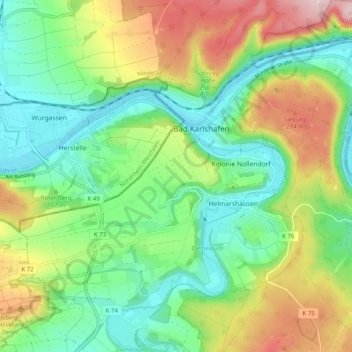
Name: Bad Karlshafen topographic map, elevation, terrain.
Location: Bad Karlshafen, Landkreis Kassel, Hesse, 34385, Germany (51.61060 9.39886 51.65779 9.49830)
Average elevation: 181 m
Minimum elevation: 93 m
Maximum elevation: 339 m
Thank you for supporting this site ❤️
Make a donation
Make a donation